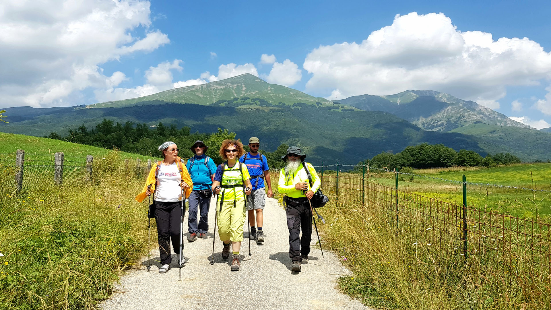
The Italy trail offers a unique experience along one of the longest treks in the world. an embrace of nature among spectacular landscapes, majestic mountains, lush forests and pristine meadows all to be discovered and explored.
The Italy path of the Italian Alpine Club (CAI), is one of the longest treks in the world which connects, through its over 7000 km, all the Italian regions, including the islands. Conceived by the Sentiero Italia Association in 1983, the route is now maintained by the volunteers of the Italian Alpine Club.
20 regions, 500 stages, which join the Alps to the Apennines, mostly using some large already existing paths: the Grande Traversata delle Alpi in Piedmont, about 1000 km long; the Alta Via dei Monti Liguri in Liguria (44 stages for over 400 km); the 28 stages of the Great Apennine Excursion in Tuscany and Emilia Romagna (425 kilometres); and the Sentiero del Brigante in Calabria, with its nine stages (120 km long).
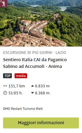
The trek allows you to cross a variety of incredible sceneries: from the peaks of the majestic Alps, to the lush green hills of the Apennines, up to the sparkling coasts of the Adriatic and the Mediterranean Sea, bringing with you the emotion that comes from immersing yourself in the beauty of Italian nature and culture. The stretch involved in the Lazio region leads to the discovery of woods, crystalline lakes, surprising panoramas, pastures dotted with colorful wild flowers, but not only, it touches fascinating villages with ancient castles and ruins where you can learn about the local culture, taste the delicious cuisine and discover the unique regional traditions.
The stages affecting the municipalities in the DMO are as follows:
STAGES
START
ARRIVAL
DISTANCE
DIFFERENCE IN HEIGHT
Stage 10
Carsoli
Paganico Sabino
17,4 km
Difference in height: 954 mt. – Elevation loss: 862 mt
Stage 11
Paganico Sabino
Varco Sabino
9,4 km
Difference in height: 657 mt. – Elevation loss: 573 mt
Stage 12
Varco Sabino
Staffoli
14.8 Km
Difference in height: 664 mt. – Elevation loss: 461 mt
Stage 13
Staffoli
Antrodoco
17.6 Km
Difference in height: 449 mt. – Elevation loss: 931 mt
Stage 15
Antrodoco
Rifugio Angelo Sebastiani
16.6 Km
Difference in height: 449 mt. – Elevation loss: 931 mt
Stage 16
Rifugio Angelo Sebastiani
Leonessa
17,1 Km
Difference in height: 344 mt. – Elevation loss: 1157 mt
Stage 17
Leonessa
San Vito
17,1 Km
Difference in height: 136 mt. – Elevation loss: 88 mt
Stage 19
Torrita
Amatrice
9,1 Km
Difference in height: 46 mt. – Elevation loss: 158 mt
Stage 19
Amatrice
Accumoli
15.1 Km
Difference in height: 575 mt. – Elevation loss: 390 mt
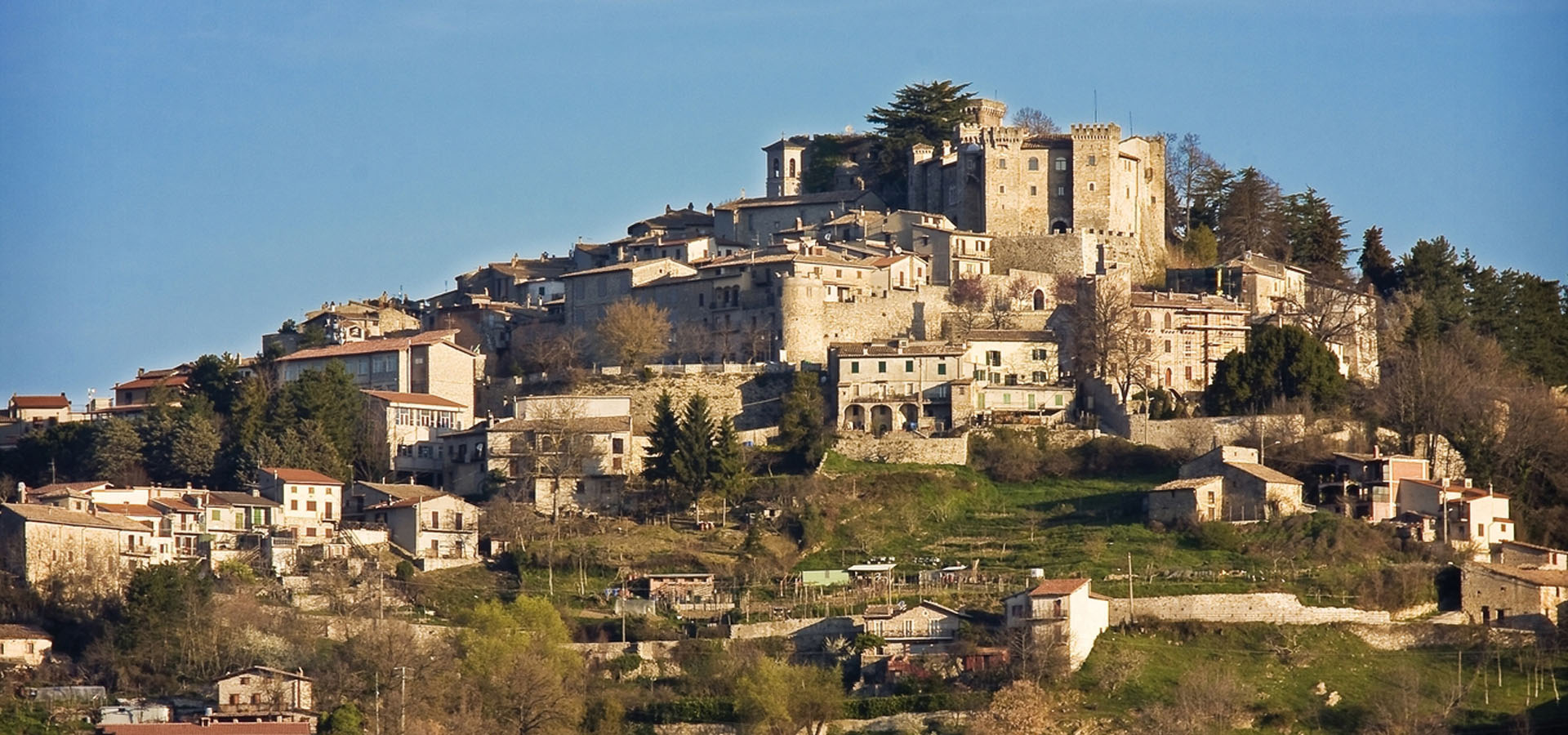
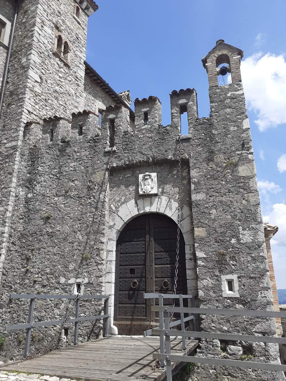
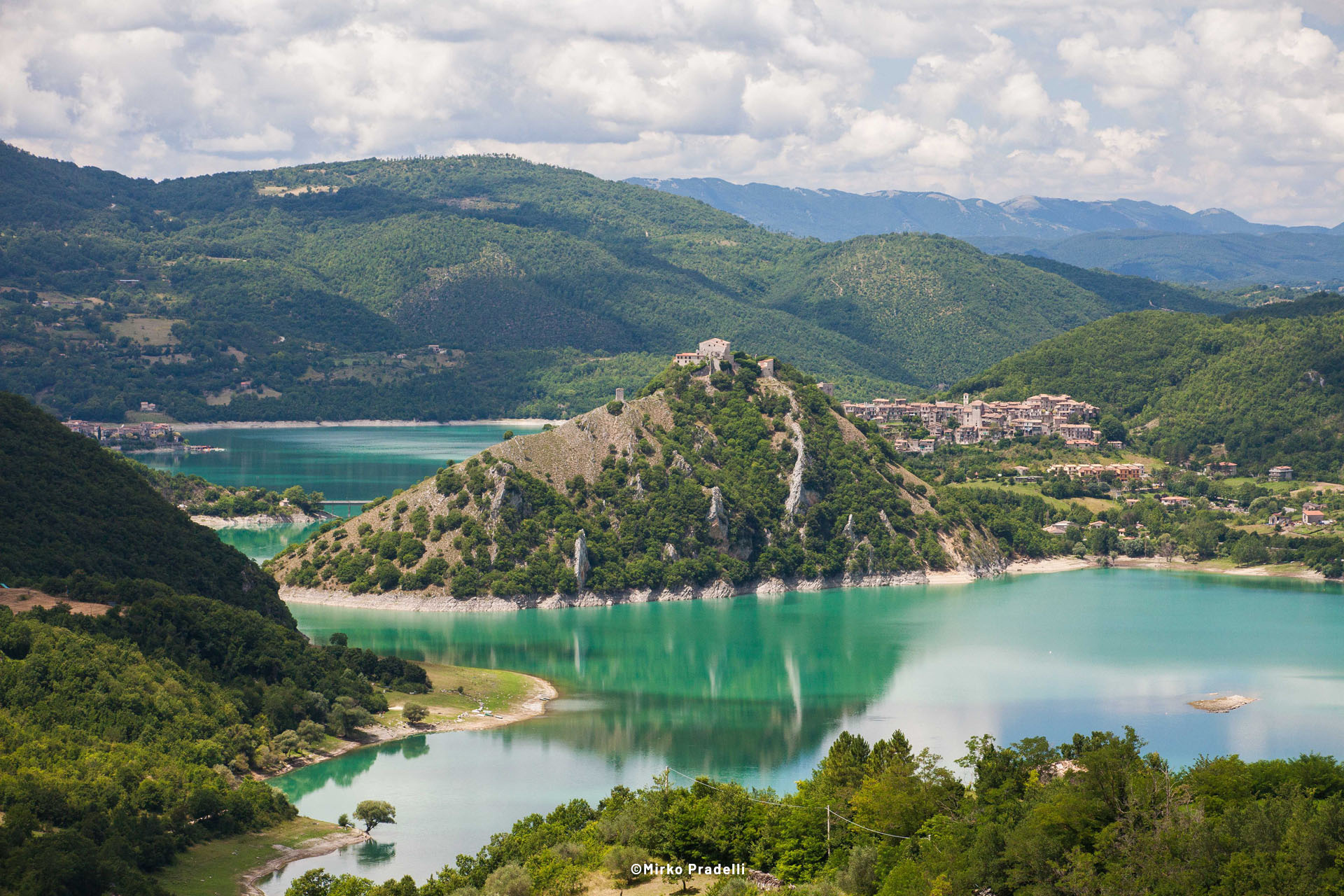
Some of the villages involved in the stages are Paganico Sabino, a charming village located on a hill and surrounded by green landscapes, Varco Sabino, a picturesque village where you can contemplate splendid panoramas and immerse yourself in the tranquility of nature. Antrodoco, an ancient village located in the suggestive valley bathed by the Velino river, where you can admire the medieval architecture, stroll through the cobbled streets and visit the church of Santa Maria Assunta.
Leonessa, at the foot of Monte Terminillo, which boasts a rich and ancient history that is reflected in its narrow streets, medieval walls and well-preserved historic buildings, one of the main points of interest is the Sanctuary of San Giuseppe da Leonessa, an example of where the remains of the patron saint are kept. Amatrice and Accumoli, which, hit by the 2016 earthquake, suffered serious damage to their historic centers but boast the proximity of precious natural sites such as the Pantani di Accumoli, lakes of glacial origin located in the heart of a valley surrounded by bucolic pastures, and the WWF Oasis of Lago Secco, a Special Protection Area located within the Gran Sasso and Monti della Laga National Park, an important resource for the conservation of biodiversity.
Author’s suggestions:
Along the Italy path you will find numerous reception points, you can sleep in lodgings, B&Bs, farmhouses or in religious structures. On the official website www.sentieroitalia.cai.it you will find information and GPS tracks.
Visiting suggestions
Along the stages are other places of interest that, time permitting, we invite you to visit.
If you want to access the detailed map for outdoor use and check all the data and statistics of the route, even in 3D, please see the page that Anima Reatina has published on the outdooractive portal


